But they do have roads.. the Toporama maps in particular do have nicely laid out roads. As for the other ones they have road data as well... at least in what I have downloaded they do.
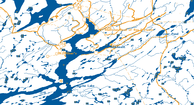
I am not thinking so much about using these maps in the way the mapsonus information is used... but more so to keep you from getting lost. I have downconverted the toporama maps to 4 colours... dark blue for water and some place names, black for some other place names, white for land and orange for the roads. these colors should translate fairly well over to the empeg... maybe replacing the Black place names with the orange color so that the viewability on the empeg would be better (some black place names are on the dark blue water).
Sound doable?
See attachment of a part of a map of my area... with a confluence point in the upper left corner
 http://empeg.comms.net/files/121056-001m-4colours-snipped.gif
_________________________
12 gig empeg Mark II, SN: 080000101
30 gig RioCar SN: 30103114
My blog


 Previous Topic
 Index
Index
